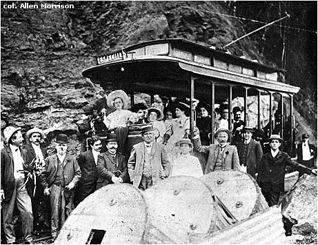
In 1906 Ferro-Carril Carioca
opened a new line to Sumaré,
the first 5 km of a planned 18 km excursion railway
along private right-of-way through Tijuca National Park.
With such beautiful scenery, why did the photographer
choose this spot behind the wire spools?
(col. C. J. Dunlop)
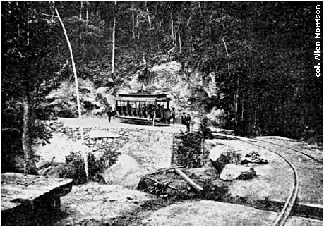
A culvert near Estrada Dom
Joaquim Mamede,
above today's Rebouças Tunnel.
(Henri Turot, En Amérique latine, Paris: 1908, p. 67)
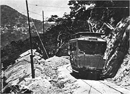
The winding trolley route up the
hill was often damaged by storms
and today is an automobile road called Estrada do Sumaré.
It can be followed on Google's "Street View".
(col. C. J. Dunlop)
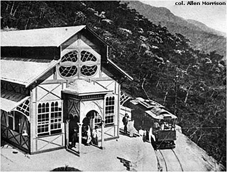
Sumaré Restaurant at
altitude 325 m = 1,066 ft.
Track and wire continued to altitude 705 m = 2,312 ft,
but it is not known if a tram ever ran there.
Plagued by hurricanes and debts, FCC closed the line about 1912.
(pc, col. AM)
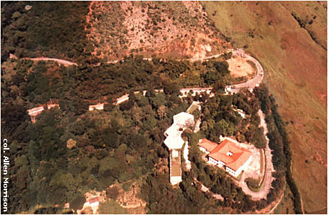
Here is a view of Sumaré
taken from an airplane in 1988.
The foundation of the restaurant has been made a heliport.
The large building in the foreground is
the palace of Rio's archbishop. (AM)
Copyright © 1998-2098 Allen Morrison - ALL RIGHTS RESERVED